Find your perfect hike. Book a call with Anna

Hiking NZ
  • About Us
    • Meet Our Team
    • Why Us
    • Sustainable Tourism
    • Our People, Our Land
    • Travel Deals
    • Frequently Asked Questions
  • Trips
    • Kiwi Style Hikes Kiwi-Style Hiking
      • Ultimate New Zealand
      • Ultimate North Island
      • Ultimate South Island
      Travel Deals FAQ
    • Great Walks Great Walks
      • Abel Tasman 3 Day Hike
      • Abel Tasman 5 Day Hike
      • Abel Tasman Kayak and Hike
      • Heaphy Track
      • Hollyford Track
      • Hump Ridge Track
      • Queen Charlotte Track
      • Tongariro Hike
      • Whanganui River Canoe 5 Day
      • Whanganui River Canoe 4 Day
      • Paparoa Track
      • Best of Routeburn, Kepler and Milford Track
      Travel Deals FAQ
    • Hiking Tours Hiking Tours
      • New Zealand Grand Hikes
      • North Island Grand Hikes
      • Scenic South Hike and Bike
      • South Island Grand Hikes
      • Coromandel Explorer
      • Pure South Adventure
      • North Island Adventure
      • South Island Adventure
      • Milford, Hollyford and Stewart Island Trails
      Travel Deals FAQ
    • Alpine Hikes Alpine Hikes
      • Arthur's Pass Alpine Hike
      • Gillespie Pass Alpine Traverse
      • Brewster Glacier Adventure
      • Rabbit Pass Alpine Trek
      Travel Deals FAQ
    • Custom Hikes Custom Groups
      • Huayhuash Trek
      • Family Northern Explorer
      • Family Southern Explorer
      • Lake Waikaremoana Hike
      • Women's Custom Tours
      • Women's Southern Wilderness
      • Coast, Canyons and Mountains
      • Coastal Wanderer Custom Tour
      • Don't Cross the Ladies
      • Secret South Custom Tour
      • Tekapo Hike
      • West Coast Custom Tour
      • World Heritage Custom Tour
      Travel Deals FAQ
  • Blog
  • Shortlist
  • About Us
    • Meet Our Team
    • Why Us
    • Sustainable Tourism
    • Our People, Our Land
    • Travel Deals
    • Frequently Asked Questions
  • Trips
    • Kiwi-Style Hiking
    • Great Walks
    • Hiking Tours
    • Alpine Hikes
    • Custom Groups
  • Blog
  • Shortlist
Brochure Contact Us Book Now

Paparoa Track

  • Overview
  • Itinerary
  • Details
  • Map
  • Photos
  • Reviews
  • Home
  • Trips
  • Paparoa Track
DAY 1

Greymouth - Paparoa National Park

Up to 10.3 km (6.4 miles), 4-5 hours hiking, +/-730m (2395 ft) elevation

We begin our adventure with a scenic drive from the Greymouth base along the Māwhera River, through the historic mining town of Blackball to the Smoke-ho car park, and the beginning of the Paparoa Track.

This first section has been in use for years. Known as the Croesus Track, it rises gently alongside Blackball Creek past gold mining ruins and relics to our first nights' accommodation at Ces Clark Hut. The hut is right on the bush edge and offers magnificent views of the Grey Valley and Southern Alps. If time allows, we will walk a side track to Garden Gully (45 minutes return) where you can cross a suspension bridge and explore a century-old quartz crushing battery and collapsed mine site. Includes lunch and dinner

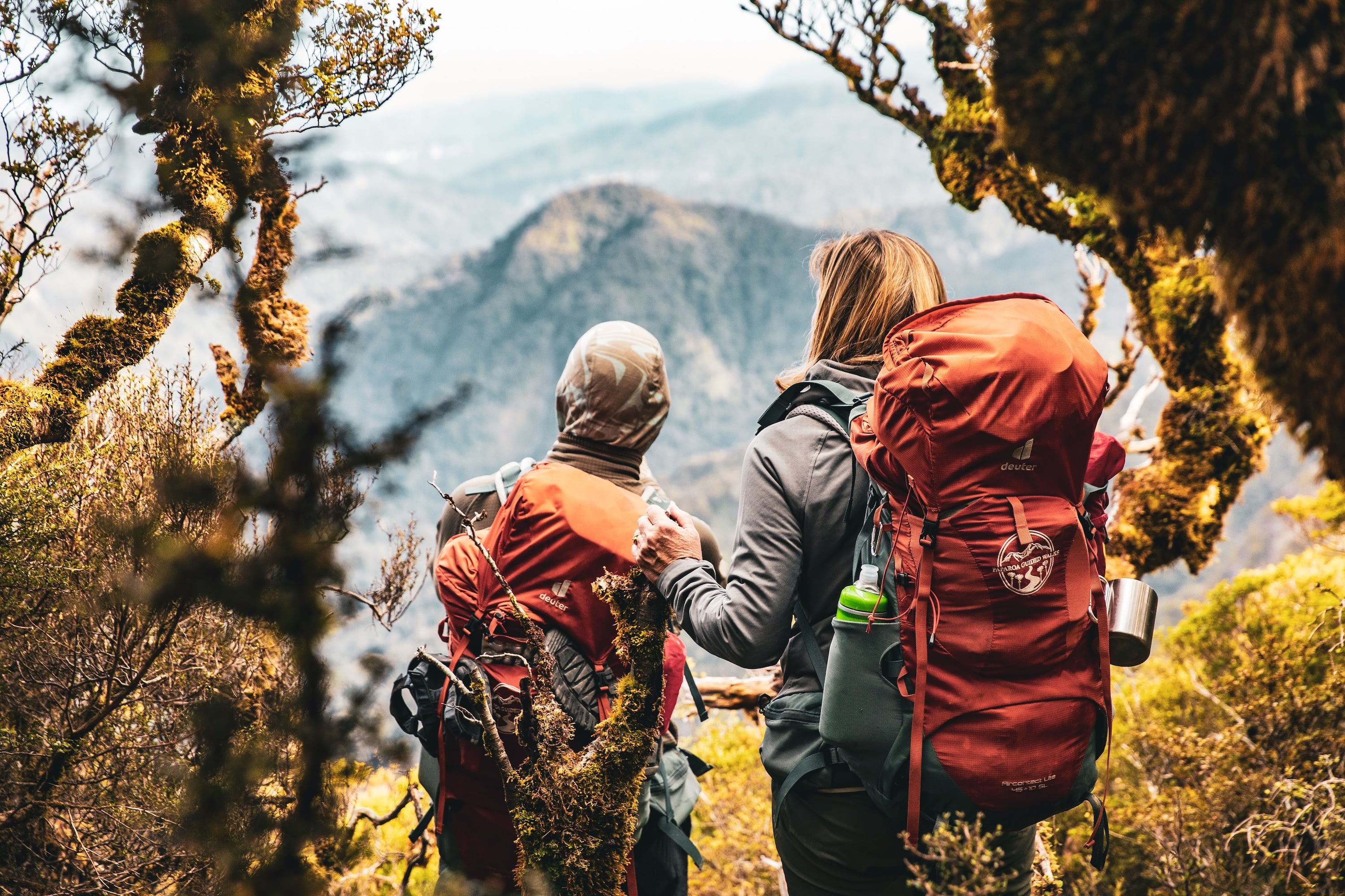
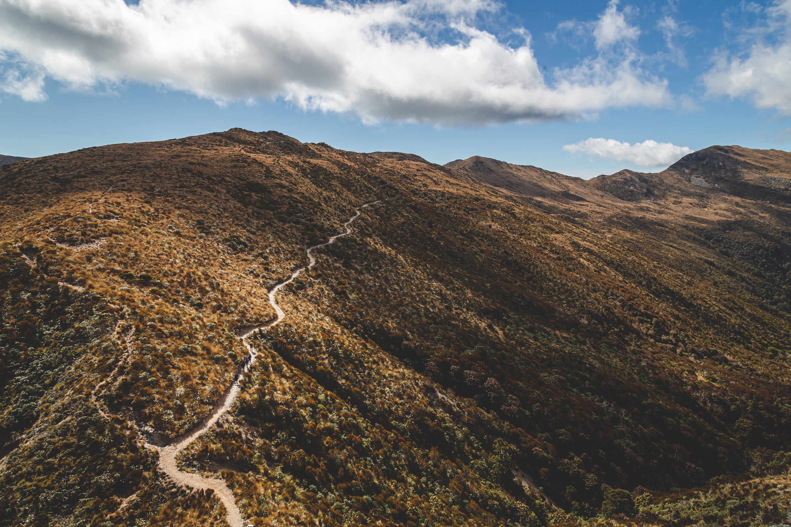
Views from the Paparoa Track looking over the alpine landscape.
Accommodation

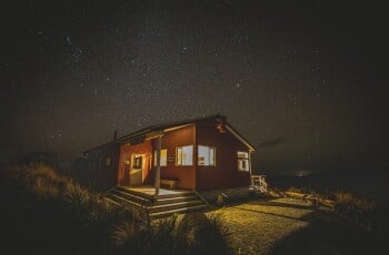
The 16-bunk Ces Clark Hut is located on the bush edge and offers magnificent views of the Grey Valley and the Southern Alps. 

All huts on the Paparoa Track offer heating, long drop toilets supplied with toilet paper, and cold running water and mattresses on the bunks.

ces-clark-hut.jpg
DAY 2

Ces Clark Hut to Moonlight Tops Hut

9.7km (6 miles), 3-4 hours hiking, +/- 280 m (918 ft) elevation

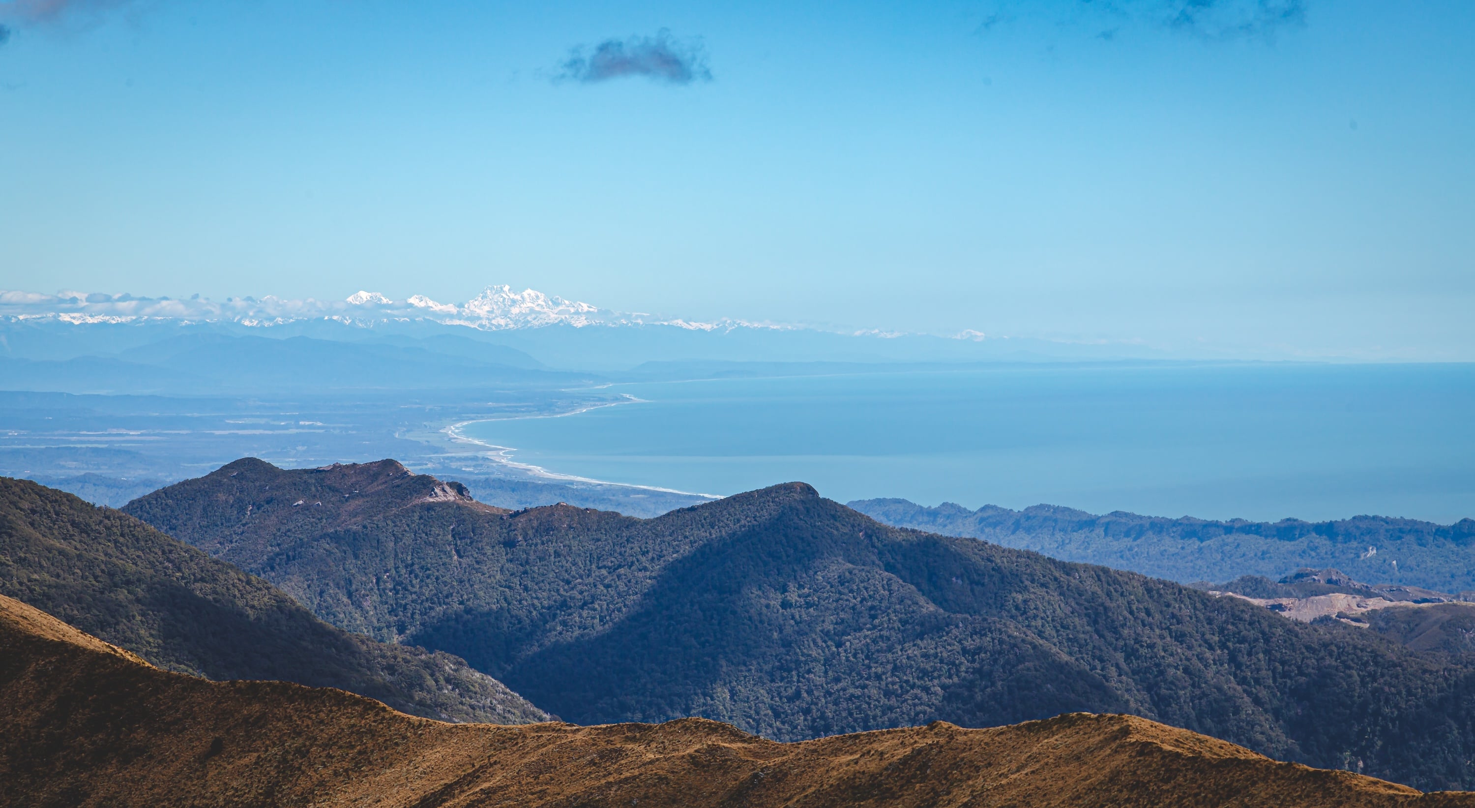
Today, we will be rewarded with expansive views of Māwhera Grey River to the east, and the Tasman Sea to the west. The trail climbs through alpine scrub and tussock to the ridge of the Paparoa Range and follows this north above the Roaring Meg and Moonlight Creek catchments. On a fine day, we’ll have views of Aoraki/Mt Cook, New Zealand’s highest mountain. Includes breakfast, lunch and dinner


On fine days, views stretch across the Tasman Sea, and to Aoraki Mt Cook
Accommodation

The 20-bunk Moonlight Tops Hut is at 1000m altitude high above the treeline, making it one of the most spectacular hut locations on the walk, offering views across the Punakaiki River headwaters to the Pike Stream escarpment and north into the Paparoa National Park.

All huts on the Paparoa Track offer heating, long drop toilets supplied with toilet paper, and cold running water and mattresses on the bunks.

moonlight-tops-hut.jpg
DAY 3

Moonlight Tops Hut to Pororari Hut

19.1km (11.8 miles), 6 - 8 hours hiking, +/- 690m (2263ft)

Today, we start our descent as the open tops give way to alpine forest stunted by the harsh environment and includes the dramatic escarpment – a gigantic sandstone bluff towering above the Punakaiki headwaters and extending 2km along the main range.  The track winds along the top of the escarpment, where the landscape is striking with stunning views down the Pike Stream in the east, stretching west to Punakaiki and north-west to Westport.

About halfway to Pororari Hut, we descend below Mt Hawera to walk through ancient podocarp forest under towering cliffs following the spine of the Tindale Ridge to Pororari Hut. As we traverse the ridge, we look north to see the Lone Hand (947m), a curious and gnarled outcrop of bedrock and sweeping views out to the Tasman Sea.

Roroa (great spotted kiwi) are endemic to the South Island and known to inhabit the surrounding bush, often heard at night. Be sure to have a red light on your headtorch for your best chance to see them! Includes breakfast lunch and dinner

Paparoa track sidling across the hillside.
Accommodation

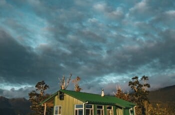
Perched high above the ancient native bush, Pororari Hut boasts stunning 360 degree views including the Lone Hand and out to the Tasman sea. 

All huts on the Paparoa Track offer heating, long drop toilets supplied with toilet paper, and cold running water and mattresses on the bunks.

Pororari-hut.jpg
DAY 4

Pororari Hut - Greymouth

16km, (10 miles) 5 - 6 hours hiking, +/-540m (1771 ft) elevation

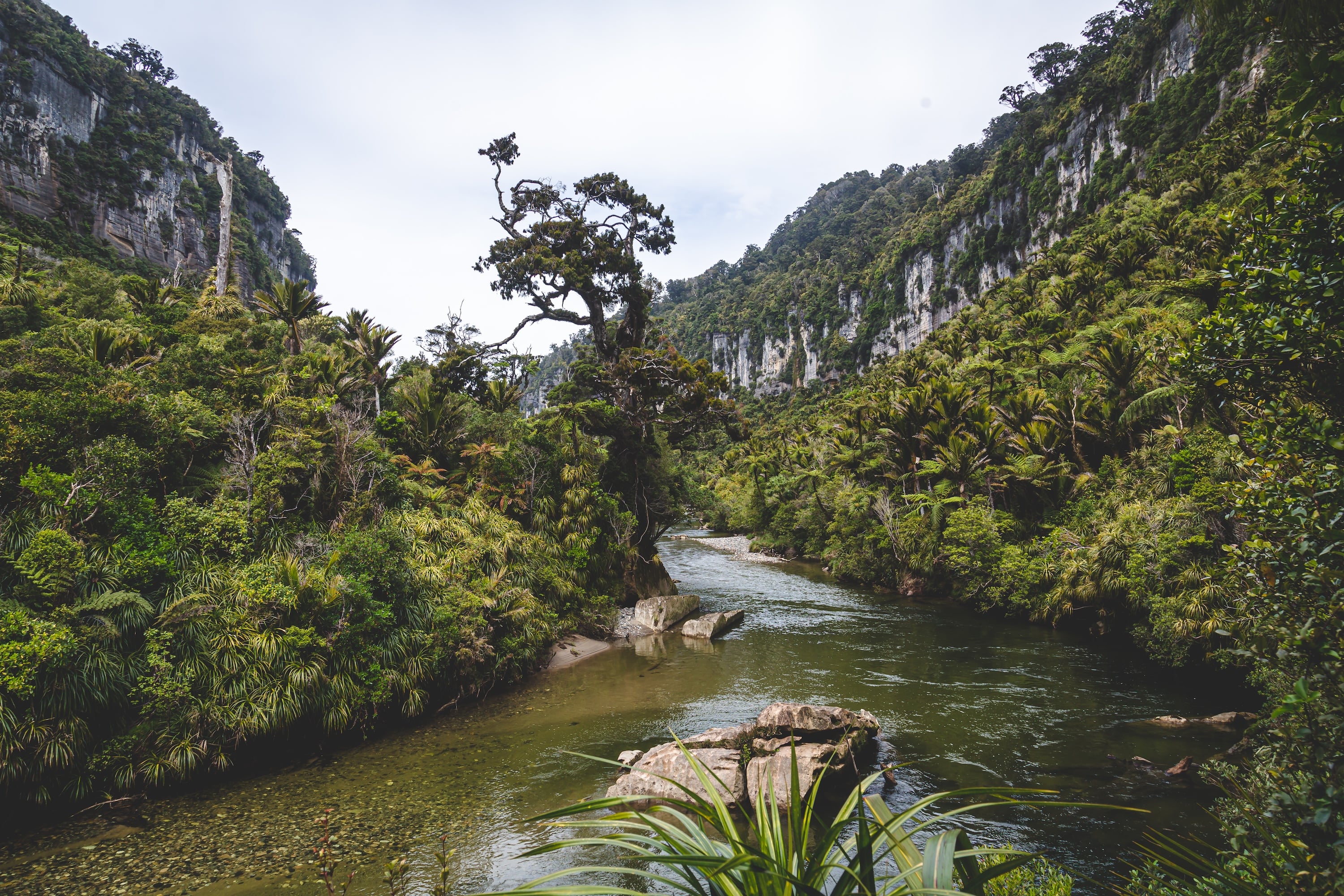
After a final hearty breakfast together, we descend down the upper Pororari River valley, joining an old pack track (built to establish settlement in the upper valley). The track then sidles a spectacular gorge and descends towards the coast through beech forest interspersed with northern rātā. From here we catch glimpses of the lower Pororari River.

At the junction with the historic Inland Pack Track, walkers and mountain bikers diverge: walkers follow the Pororari River Track which sidles the lower gorge with its striking limestone cliffs and the gorge is lined with lush rainforest, a confusion of nīkau palms and kiekie hanging off giant podocarps that leads us back to the Punakaiki.

Our group will be collected from Punakaiki and take the short 40-minute drive down the Coast Road back to Greymouth. If you choose, you have the option to stay on in Punakaiki (vehicle relocation available). Includes breakfast and lunch

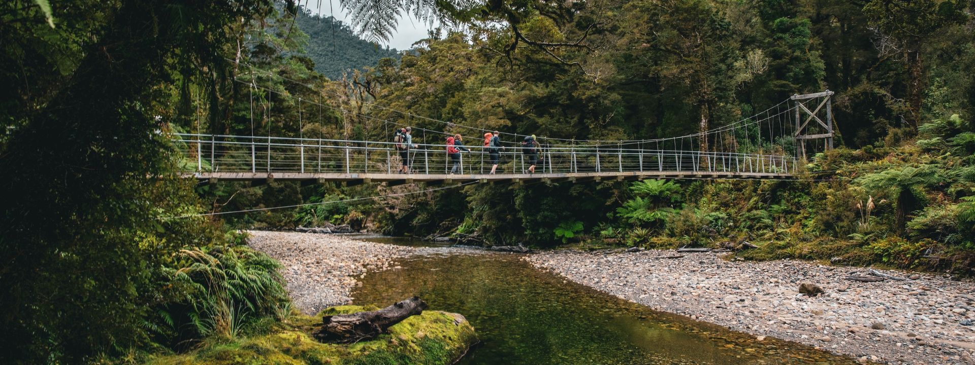
Subtropical forest flanks the Pororari river.

Our Active Earth Adventures site has adventures beyond New Zealand as well as cycling, skiing, rafting... holidays in New Zealand.

ABOUT US
  • Why HikingNZ
  • Meet Our Experts
  • Our People, Our Land
  • Sustainable Tourism
  • Travel Deals
  • FAQ
TRIP CATEGORIES
  • Kiwi-Style Hiking
  • Alpine Hikes
  • Great Walks
  • Hiking Tours
  • Custom Groups
  • By Location
FEATURED TRIPS
  • Tongariro Hike
  • Hollyford Track
  • Abel Tasman Track 5 day
  • Scenic South Hike and Bike
  • South Island Grand Hikes
  • Ultimate New Zealand
NEWSLETTER
Get Hiking New Zealand & Active Earth Adventures travel tips delivered to your inbox

SUBSCRIBE
© 2026 Hiking New Zealand Limited. Privacy Policy Website Terms and Conditions About
Designed by: Mint Design
To Top